Drone Surveying: The Digital Backbone of Drone Intelligent Inspections — Redefining Standards with EFLYS Drone Hub & Custom Software.
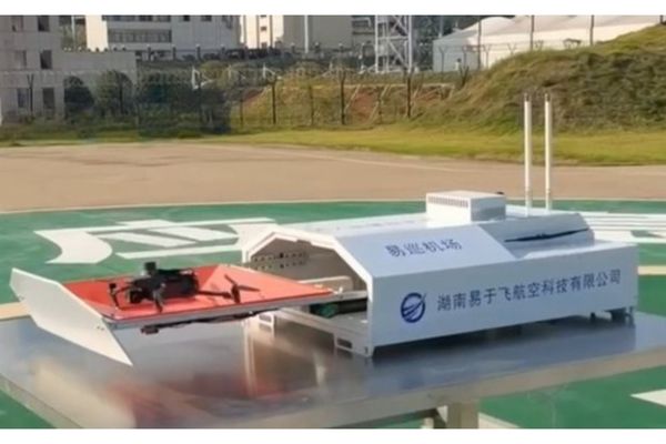
Drone inspections are rapidly replacing manual methods, powered by drone surveying—the “digital backbone” of this transformation. As the core of spatial data collection, drone surveying provides precise geospatial frameworks while integrating with EFLYS Drone Hub and tailored software to automate the “capture-to-decision” workflow.
Through precision surveying and industry-tailored algorithms, drone inspections are significantly enhanced across the power energy, agriculture & forestry, and construction & infrastructure sectors etc.
Industry Pain Points
Challenging terrain limitations
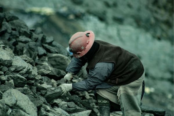
High-risk environments
Slow survey cycles
Weak digital precision
Late-stage risk alarms
Application Scenarios
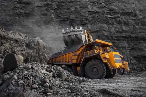
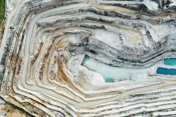
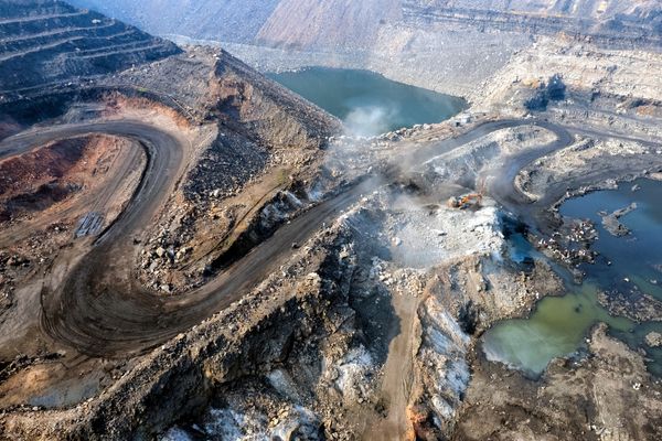
1. Surface Drone Monitoring
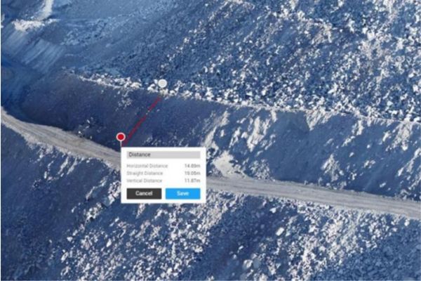
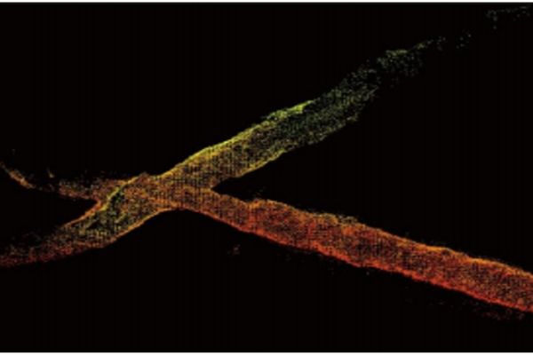
Drone equipped with LiDAR/multispectral sensors for cm-level terrain modeling, mm-accurate slope monitoring, and AI-powered illegal mining detection
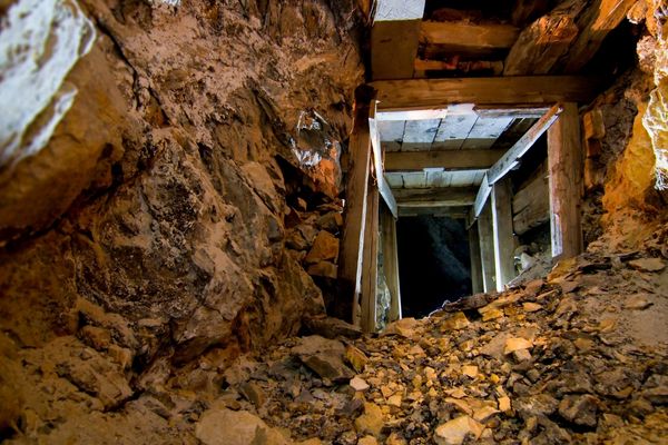
2. Underground Exploration
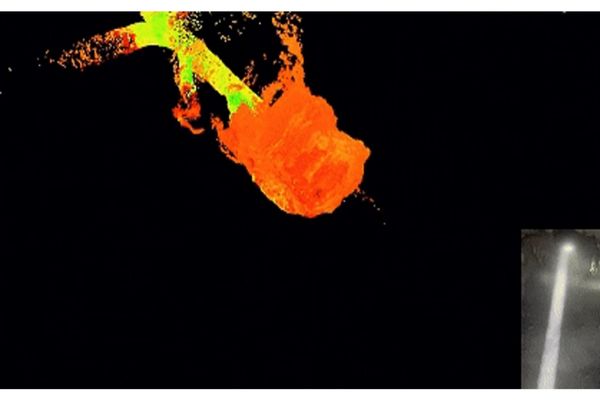
Autonomous narrow-tunnel inspection for ore measurement, roof safety checks, and blind-zone surveys—eliminating human risks grammetry buried relics underground, minimizing damage from manual
3. Environmental(Early Warning)
Real-time gas/CO monitoring + thermal imaging for overheating detection, with smart analytics generating emergency plans
4. Emergency Response
Drone swarms overcome obstacles for search/rescue, medical supply delivery, and 3D mapping—deploying within 15 minutes.
Drone-based Mine Monitoring Workflow
1. Inspection Route Planning
2. UAV Takeoff
3. Mine Image Acquisition
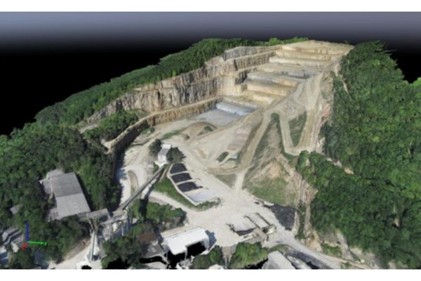
4. UAV Image Processing (Orthophoto, Oblique)
5. 3D Model Generation
6. Mine Dynamic Drone Monitoring
Solutions
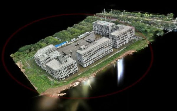
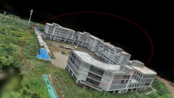
Drone Slope Inspection
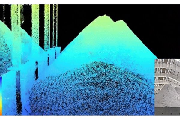
Stockpile Volume Drone Measurement
Mined-out Area Drone Inspection
Mine Ore Pass Drone Inspection
Contact Us
Interested in optimizing your mining operations? Contact us today to learn more about our drone solutions.